おおいた防災アプリ: A Comprehensive Disaster Preparedness App
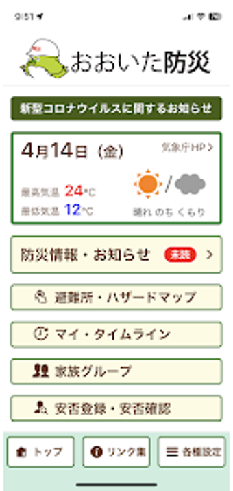
おおいた防災アプリ is the official app of Oita Prefecture, Japan. This app aims to support individuals during times of disaster by providing information on designated evacuation centers and emergency evacuation sites in their vicinity. It also offers route guidance to these locations, as well as augmented reality (AR) camera and evacuation compass functionalities to aid in evacuation efforts. Furthermore, the app displays hazard maps, such as areas prone to landslides, flood zones, and tsunami inundation areas, allowing users to assess the risks in their current location. Additionally, users can receive push notifications for evacuation information, weather warnings, and other disaster-related updates.
One of the notable features of おおいた防災アプリ is its ability to be used not only within Oita Prefecture but also in various locations across Japan. Users can access map displays even when offline, ensuring that the app remains useful in areas with limited internet connectivity.
Key Features:
- Automatic search for designated evacuation centers and emergency evacuation sites in the user's vicinity
- Route guidance to designated evacuation centers and emergency evacuation sites
- Display of hazard maps, including areas prone to landslides, flood zones, and tsunami inundation areas
- Display of road restrictions and camera information
- Display of disaster information and risk levels based on the user's current location
- AR camera functionality and evacuation compass feature
- Offline functionality
- Push notifications and list display for disaster information
- Safety confirmation and registration
Please note that the app is developed by 大分県 and is available for free on the Android platform. It falls under the Lifestyle category, but there is no specific subcategory mentioned in the provided information.